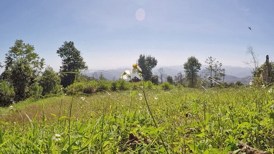
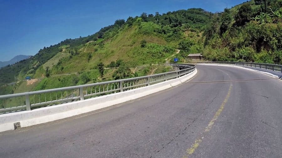
The Pha Din Pass is one of the biggest passes in the north of Vietnam. The road runs around 32 kilometres in length and at its highest point of altitude is 1648 metres above sea level. It is on the border of 2 provinces in the north-west, Son La and Dien Bien. The pass got its name from the local Thai minority – Pha means Heaven and Din Means Earth. It is a massive mountain and in the colder months, the clouds are indeed touching the earth. The Vietnamese know it as Đèo Pha Đin.


It has a reputation of being a very dangerous pass which nowadays is completely untrue. Over recent years the pass has been upgraded and the road is in fantastic condition and also very wide. It’s a really easy ride on a motorbike, gliding along and checking the views. The mountains here are mostly made up of red soil and are quite prone to landslides so the redevelopment has been a great thing for the area.
There is still a 13 kilometre section of the old pass road for those who want a bit more adventure – the old road is narrow, badly paved, and runs along cliff edges. You can find it near the top and it runs down to the Dien Bien side, it is also higher up than the new pass.

What to do at the top of Pha Din Pass
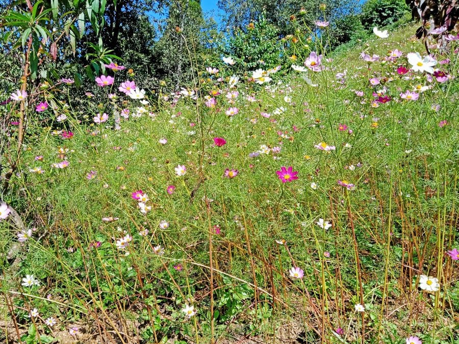
At the top on both the Dien Bien and Son La sides, there are lookout areas with flower gardens. For a small entrance fee, you can climb up (on foot) to some great vantage points. At most of them, there are colourful flower gardens, swings, and props for photography. Some of the props are quite corny but there are some interesting ones.
Vietnamese people love a photoshoot so on National holidays and weekends you’ll see people snapping about all over the pass on endless quests for the perfect selfie. You can even rent minority outfits if you really want to get into this local pastime.
In any case, the top of the pass is a pleasant spot to stop and grab a drink or a bite to eat while you check out the picturesque distant mountains. There are also minority ladies selling fresh fruit on the side of the road. Around November is one of the best months to visit as the skies are often clear and flowers are in bloom.


The Pha Din Pass in 1954
The pass and its surrounding area were the main part of the Viet Minh’s supply lines to Dien Bien Phu where they famously defeated the French colonialists. Led by Võ Nguyên Giáp, this legendary battlefield victory ended France’s occupation of Vietnam and Indochina. To achieve this triumph Viet Minh soldiers and volunteers hauled massive amounts of arms and ammo over seemingly impossible terrain – without being noticed.
This superhuman effort in logistics caught the French forces by surprise as they did not believe such a thing was possible. Looking at the mountains today it still seems that way – the mountains are massive and seriously steep.
The Vietnamese managed to haul some 200 heavy artillery including anti-aircraft guns up mountainsides and through the jungle in secret. When you consider that a single US–M101 Howitzer weighs 2.26 tonnes and is 5.14 metres in length and then factor in the geography – it’s absolutely amazing. That’s just one gun, and then there are also the thousands of rounds of ammunition that were required.
The French also believed that the Viet Minh troops could only carry 18 kilograms of rice per person. The Vietnamese troops managed to cart a whopping 272 kilograms for each soldier. This was at times managed by bicycle and gave Vo Ngyuyen Giap’s men the ability to stay at the war front 15 times longer than the French had anticipated.
Pha Din Pass Provincial Border Legend
There is a story that to decide where the border between Son La and Dien Bien should lie, a horse race was organized. Two horses and riders started from opposite sides at the bottom of the pass and raced to the top. The border demarcation is said to be where they met at the top.
Whether the story is true or not the border is actually quite very close highest point although Son La province does have a larger portion of the pass.


